By Corey Sandler
If you were to ask a (talented) child to draw a picture of a volcano, what you’d get would likely look very much like Mount Fuji in Japan.
To put it another way, Mount Fuji is a near-perfect volcanic cone, the tallest mountain in Japan with its summit at 12,389 feet or 3,774 meters. It stands on its own, covered or sprinkled with snow for about half the year.
In April, I was sailing on a ship into Shimizu, south of Tokyo, ready to head out on an expedition to fulfill my mind’s-eye plan for a photo of Mount Fuji. As the sun rose on a gray and cloudy, while the ship was still maneuvering through the harbor, Mount Fuji came to me.
I chose to make this image a study in rich black and white.
We had traveled from Tokyo to the southern islands of Japan and back to Yokohama aboard Regent Seven Seas Explorer, and on the last full day of the cruise we called at Shimizu, a bustling city south of Tokyo also known as Shizuoka. The weather forecast for the day called for heavy clouds and that’s what greeted us as we sailed into the harbor.
Mount Fuji was right there, off the starboard side…or so the GPS map on my phone told us. But all we saw was a wall of cloud from sea level to the skies.
But I don’t give up that easily. I kept a weather eye on the sky, and saw it begin to brighten slightly and then a half-volcano-sized hole opened. I took the first of many photos from the veranda of our suite before our ship came to the dock.
For centuries, Japanese artists, poets, and spiritual leaders have made Fuji the object of rhapsodic study.
Fuji is an active stratovolcano, still bubbling within; its most recent significant eruption came in 1707 and across its known recent history it has erupted every few hundred years. You do the math…
It is hard to miss Fuji if you venture south of Tokyo; in fact, on a clear day the summit is visible from the capital city 62 miles away.
Many Japanese consider it a life’s goal to climb to the summit, typically a five-to-twelve-hour trek of about 12 miles on various trails that approach from nearly every direction. Climbing season runs from early July to mid-September, and the best experience is supposed to be a nighttime hike that culminates with sunrise from the summit.
A Japanese aphorism says that a wise person will ascend Mount Fuji once in a lifetime, but only a fool would climb it twice.
I’d consider the hike, although my visits to Japan have all been during the mountain-climbing off-season. That’s my excuse, and I’m sticking to it.
A View from a Shrine
A few hours later, I went with a group of guests on a pilgrimage to the Fujisan Hongu Sengen Taisha Shrine, constructed in the 17th century at least partly to admire the volcano.
Our guide kept speaking of the beauties of the mountain and pointing vaguely in the direction of the huge volcano, but the clouds were once again completely blocking the view.
We toured the shrine, watched a very young couple dressed in traditional clothing make a pre-wedding visit (accompanied by a camera crew) and toured the gardens. We were just past the peak of cherry blossom trees, but wisteria was having its moment.
As I often do, I wandered a bit from the group and looked for non-traditional photos and angles. I turned a corner and suddenly was face-to-face with a volcano. The volcano. Fuji.
After I snapped a few safety photos, I ran back to alert the guide and guests. Here’s some of what we saw:
Fuji from Hongu Sengen Taisha Shrine
And then, under the thesis that any worth doing is worth overdoing, we drove an hour back and then past Shimizu to visit Miho no Matsubara, a quiet seaside pine grove with a soft lava sand beach.
Once again, Fuji was elusive at first. But rounding a curve on the beach, we found the mountain once again.
Fuji from the Beach
Okinawa, A Place Apart
A few days earlier, we had called at Naha, the capital city of the prefecture of Okinawa. It includes more than 160 islands inhabited and uninhabited.
For most of its history, Okinawa had been an independent country, the capital of the Ryukyu Kingdom. It became part of Japan in 1879.
Most of the people of Okinawa speak a distinctive dialog not easily interchangeable with Japanese. Even today, many residents identify themselves not as Japanese, but as Okinawans.
When World War II, Naha and Okinawa Island were essentially invaded by the Japanese military who fortified the island and conscripted teenage boys into combat and teenage girls into nursing and other support roles.
As Allied forces advanced toward the mainlands of Japan, the outer islands became critical defensive positions. In April of 1945, four months before the end of the war, a force of mostly American Army and Marine Corps troops launched an invasion with 185,000 troops, the largest amphibious assault in the Pacific war.
The American intent was to use bases on Okinawa as staging areas for the planned invasion of Japan’s home islands about 340 miles away.
They faced fierce resistance including a retreat by many Japanese troops–and Okinawan civilians–into caves. The battle lasted 81 days.
Precise numbers are hard to come by, but one estimate says 12,500 Americans were killed or missing in action. On the Axis side, 77,166 Japanese soldiers and about 30,000 Okinawan conscripts died. And perhaps 100,000 to 150,000 Okinawan civilians were killed in the assault.
Okinawa remained under American occupation until 1972, and there are still a half dozen American military bases on the islands.
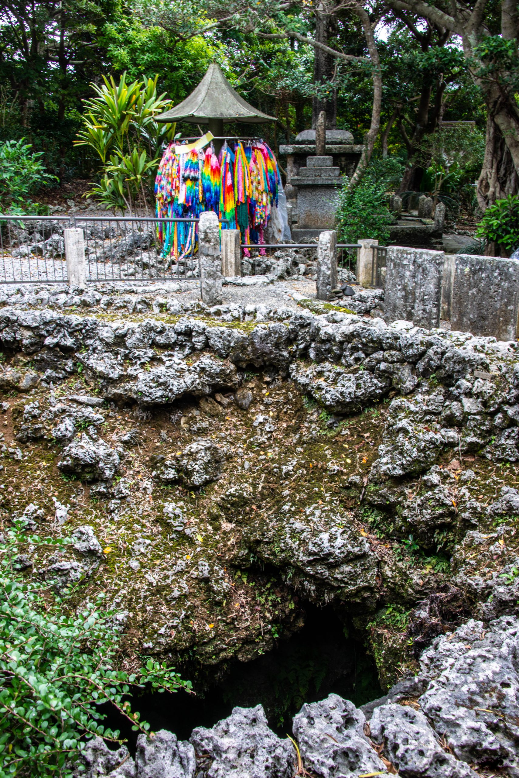
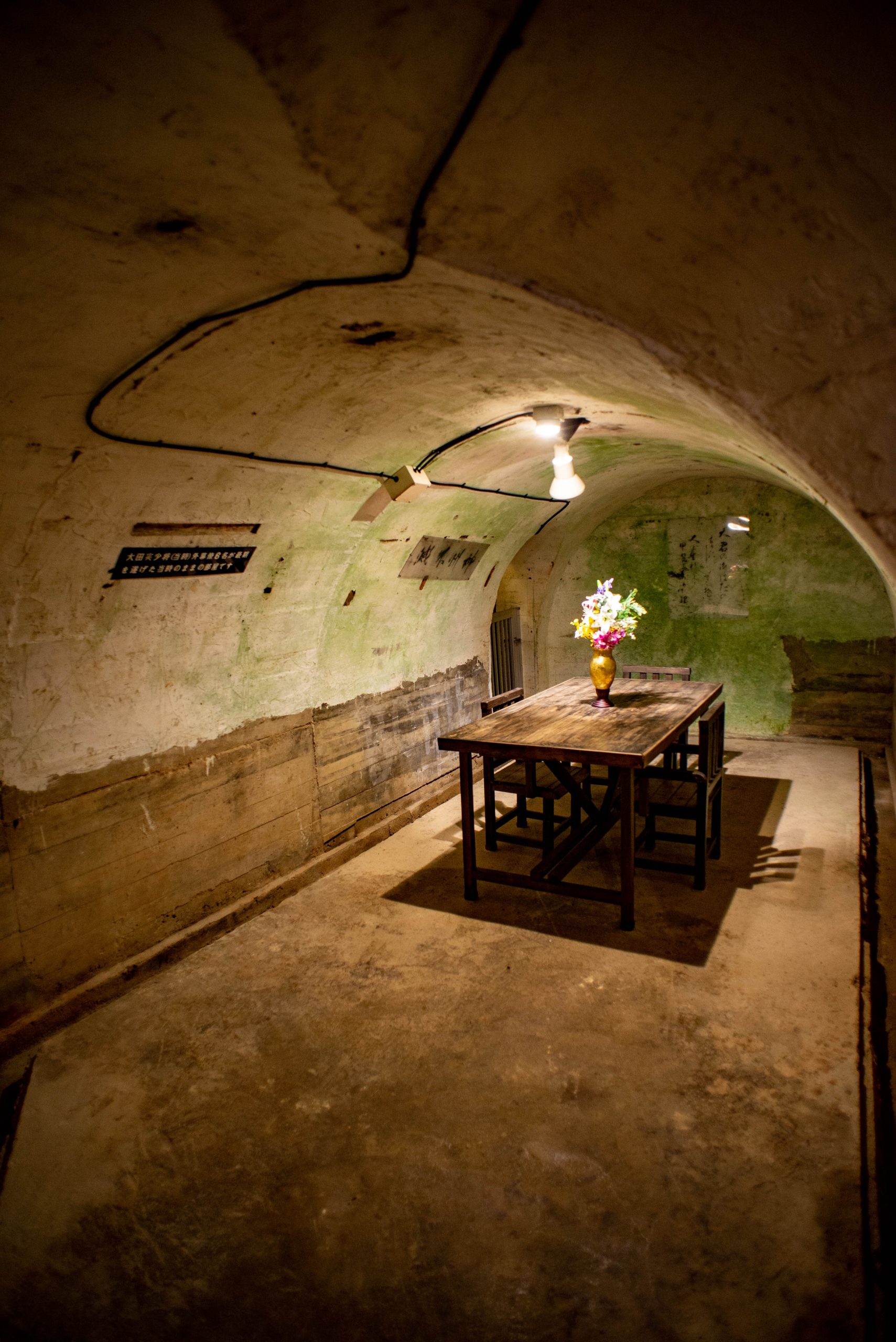
Himeyuri Peace Museum
Okinawan Naval Headquarters
In the weeks leading up to the assault, Japanese naval authorities ordered the construction of a massive network of underground tunnels and rooms in a limestone mountain near what would be the climactic battlesite.
After decades, the rooms and tunnels were opened to visitors, frozen in time and toured mostly in silence.
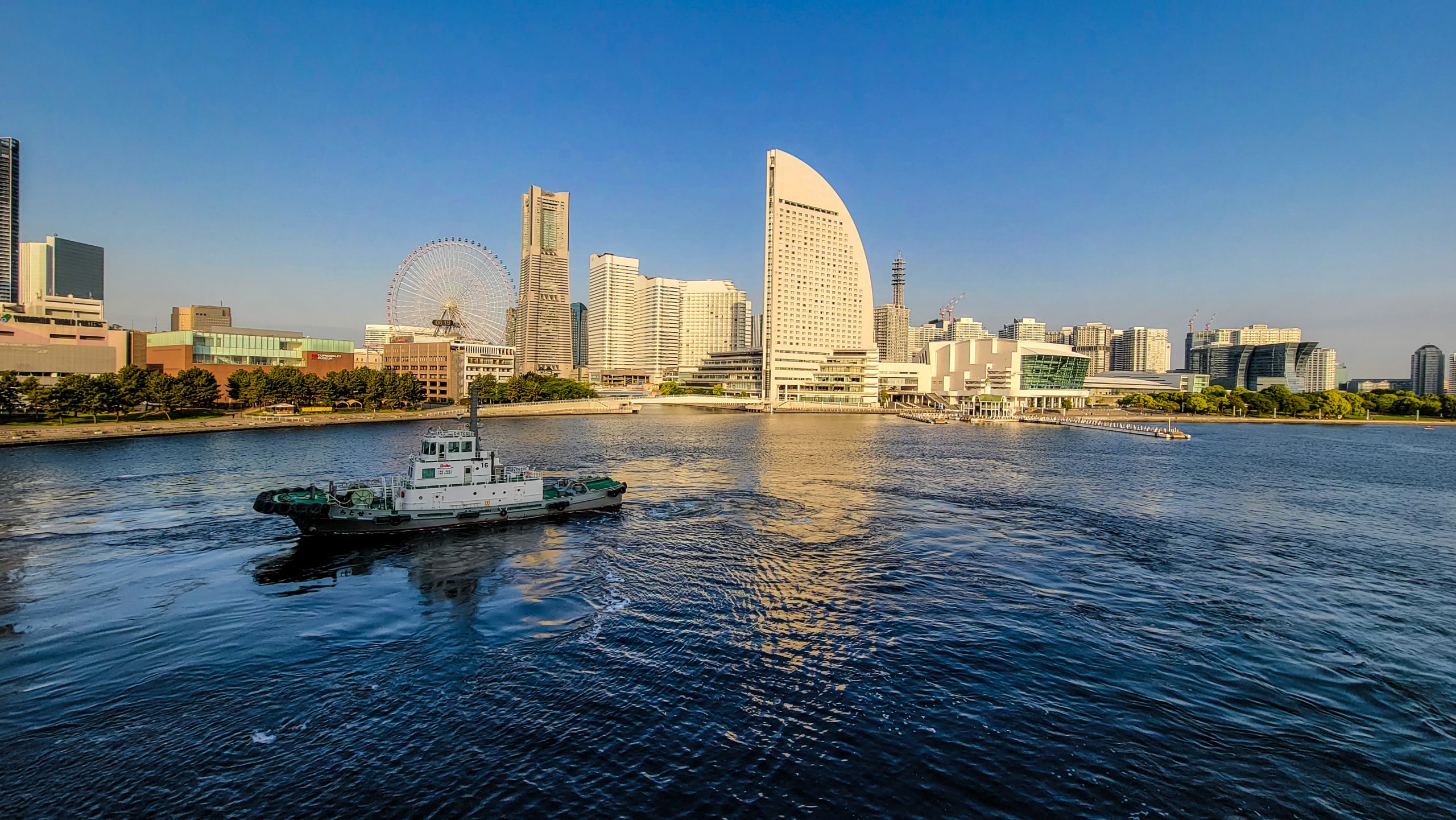
Cruise’s End
Photos and text copyright Corey Sandler. To obtain copies or otherwise use images, please contact me through my website at www.coreysandler.com
To see portfolios of some of my travel photos visit www.coreysandler.myportfolio.com or www.coreysandler2.myportfolio.com