By Corey Sandler
Old King George had his ups and downs. Defeating France in the Seven Years War in Europe and the Canadian Provinces, losing to the upstart American Colonies, and descending into mental illness.
He reappeared on the world stage, literally, with his cameo appearances in Lin-Manuel Miranda’s “Hamilton” where he promised George Washington, Alexander Hamilton, and the other revolutionaries: “You’ll be back.”
With the Americans struggling against overwhelming British forces, they gained important support from enemies of their enemy.
France, mostly in retaliation for the Seven Years War and the associated French and Indian War in Canada and Northern New York, sent ships and troops. Much of the French land forces were led by the Marquis de Lafayette and the naval forces by Comte de Rochambeau. The French also provided important diversionary fighting in the Caribbean.
Baron von Steuben led Polish forces. Spain aided the effort with battles in Gibraltar and the Mediterranean, and in the Southern American colonies and in the Caribbean.
Turning point battles included Newport in what is now Rhode Island, New York, and then the eventual great march of combined American and French infantry that ended the war in Yorktown.
Through it all, George III tried to pretend all was peaches and cream. Back to Miranda and “Hamilton.”
“You’ll be back soon,
“You’ll see.
“Oceans rise, empires fall.
“We have seen each other through it all.
“And when push comes to shove,
“I will send a fully armed battalion to remind you of my love.”
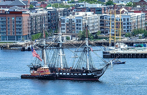
At the end of the August as we began to pack our bags for a month-long contract circling the British Isles, we attended a performance of Gilbert & Sullivan’s classic “The Pirates of Penzance” in Boston.
G&S were rock stars of their time, and their clever and fun light operas were huge hits in Victorian England, most of the British Empire, and even in the former American colonies.
“Penzance” made its debut not in Britain but in New York, in 1879, a bit more than a century after the American Declaration of Independence. (It opened in New York in an attempt to prevent literary pirates from mounting unauthorized productions in America.)
Which brings us to another bit of musical madness, Sullivan’s inspired lyrics in “Penzance” for When a Felon’s Not Engaged in His Employment. Here’s a snippet:
“When a felon’s not engaged in his employment
“Or maturing his felonious little plans,
“His capacity for innocent enjoyment
“Is just as great as any honest man’s.
“Our feelings we with difficulty smother
“When constabulary duty’s to be done.
“Ah, take one consideration with another,
“A policeman’s lot is not a happy one.”
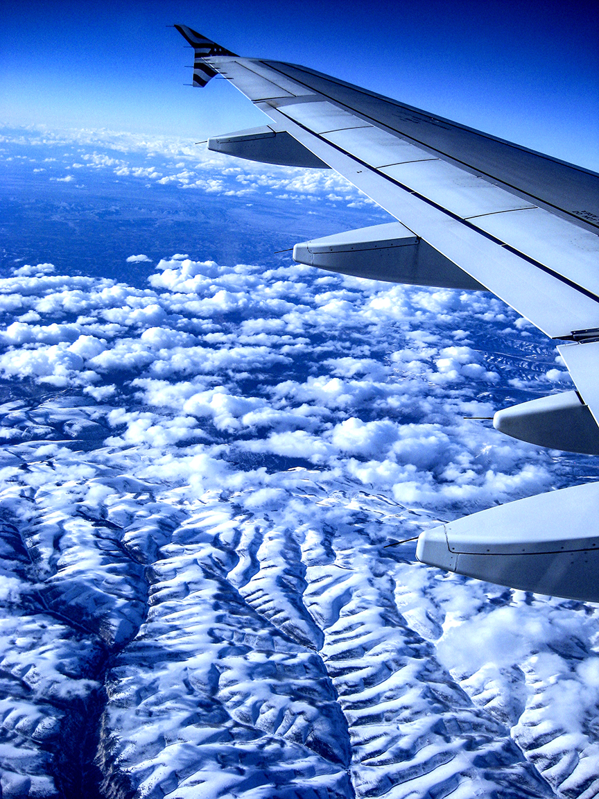
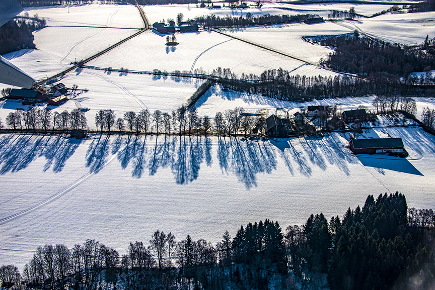
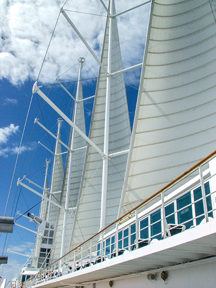
And so we headed from Boston, where the American Revolution was hatched, and endured a pair of flights to Viking Cruises’s new Vela in Bergen, Norway.
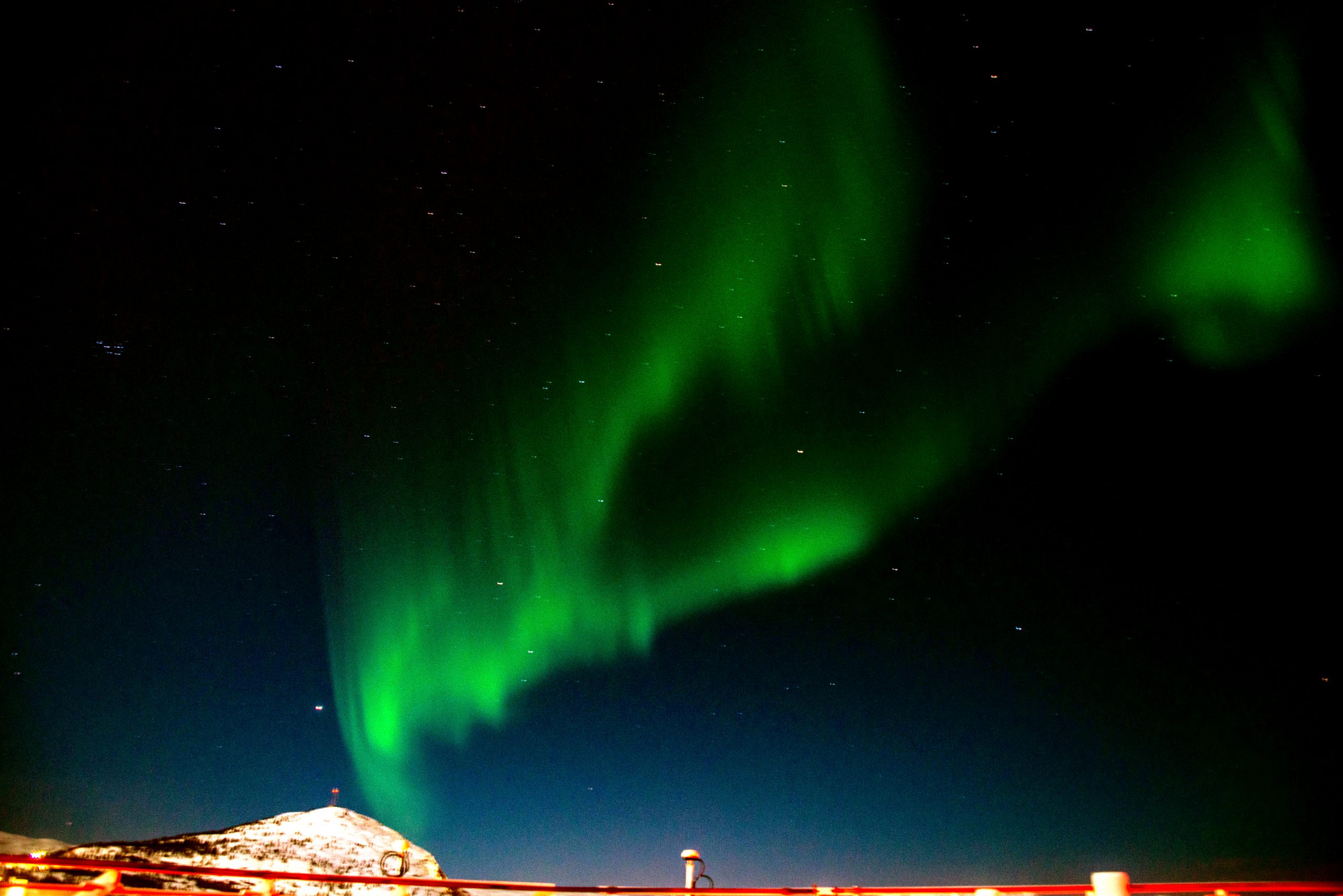
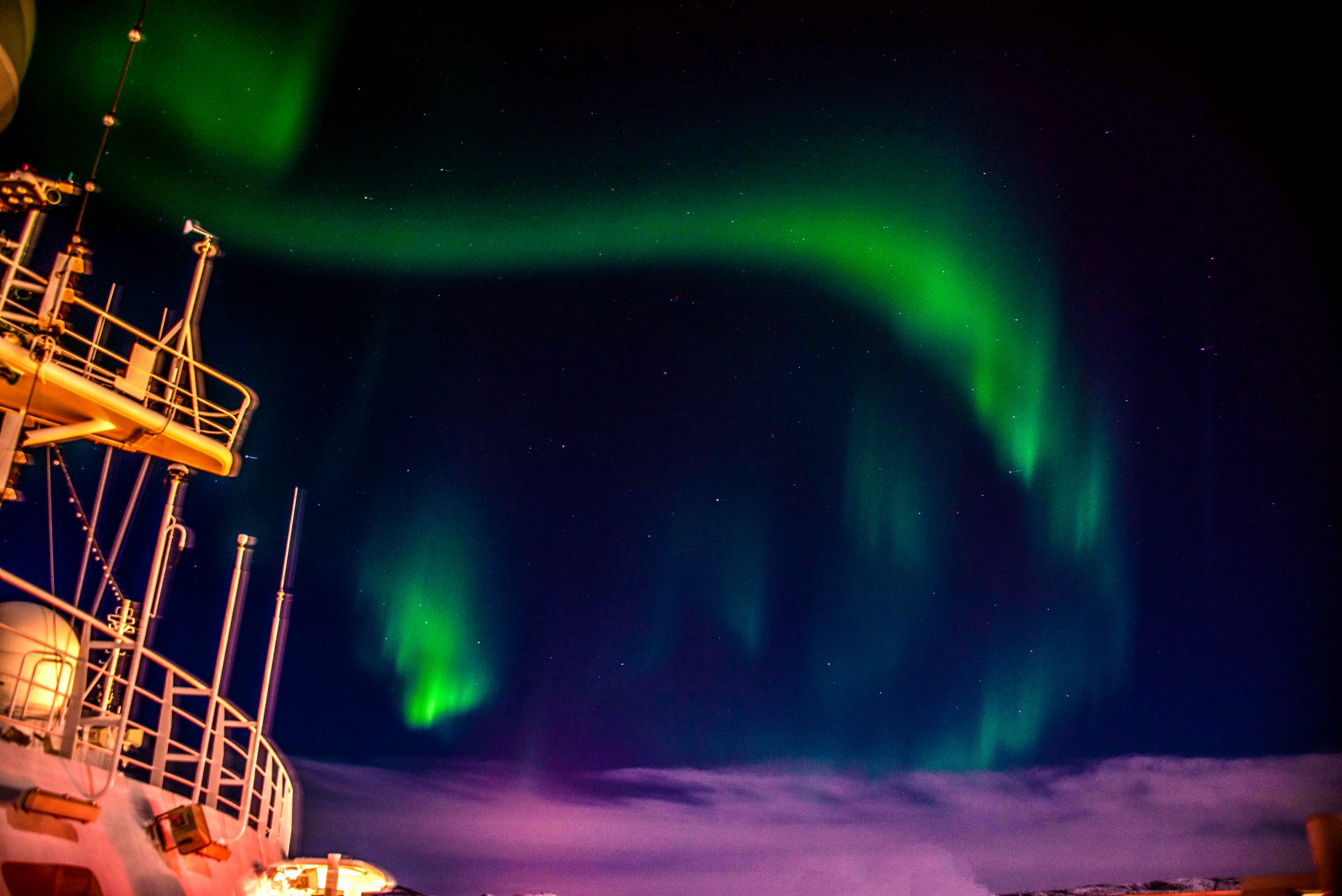
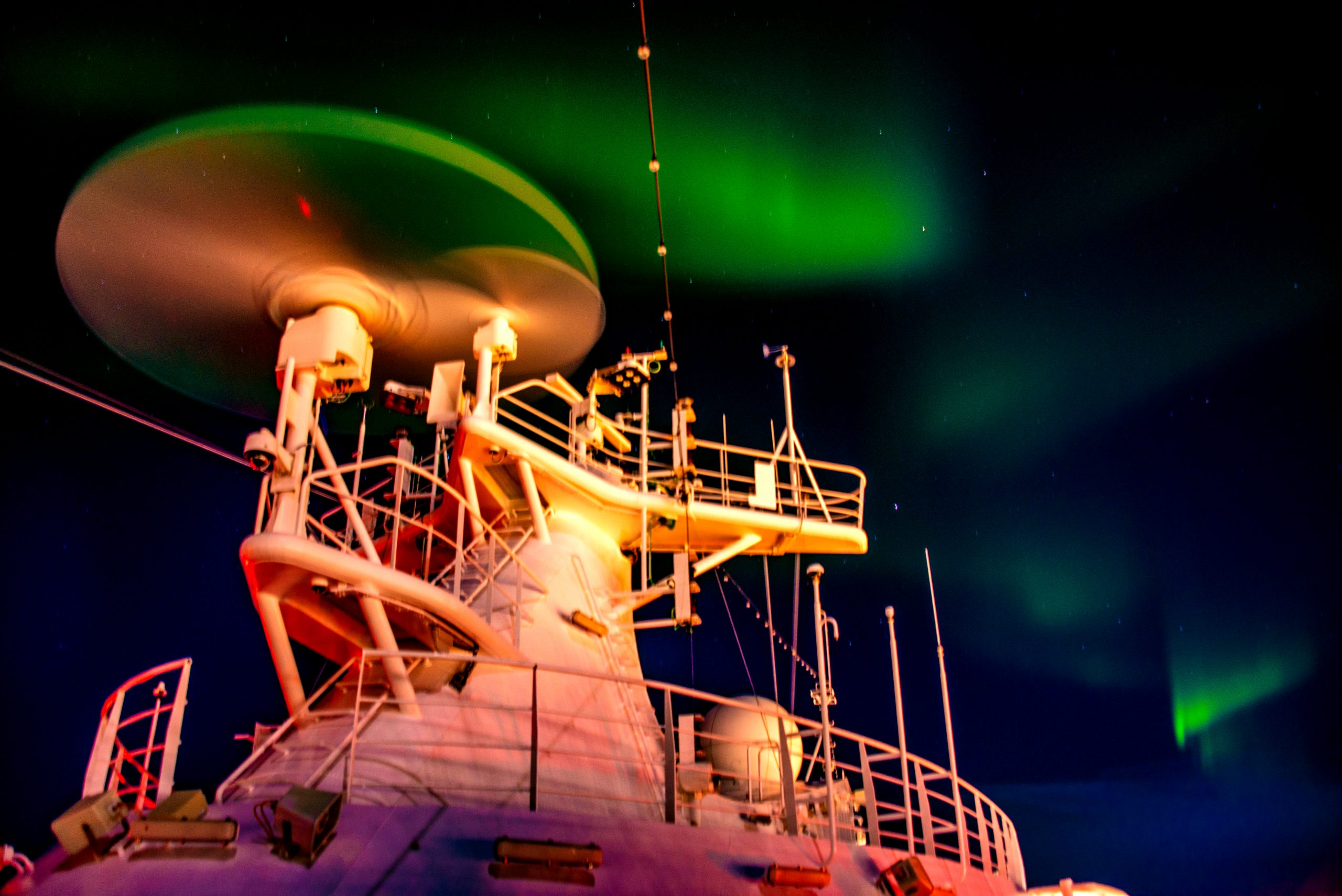
A day later we were in the North Sea, headed west for near-complete circumnavigation of the British Isles ending in Greenwich, part of the port of London. Two weeks later we would make the same trip, in the opposite direction, back to Norway.
Here’s some of what we saw.
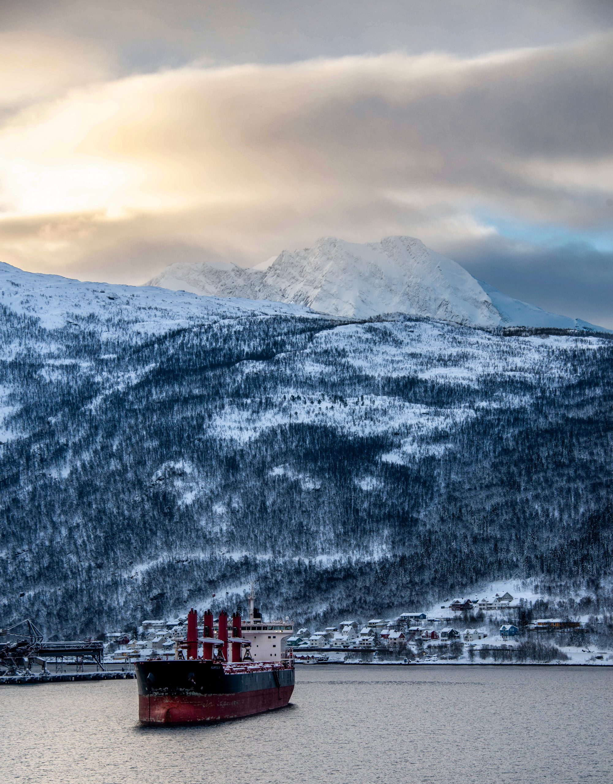
Bergen, Norway: City of the Seven Mountains
When you exit the terminal at Bergen Airport in Flesland you are greeted by a large sign on the hillside, an art installation of questionable message.
It reads in 18-foot-high yellow letters: BERGEN?
Every time we visit I wonder if perhaps the pilot was uncertain about where the plane had touched down.
Beautiful Bergen is surrounded by hills and mountains. One of its nicknames is the City of the Seven Mountains, which requires you to select which seven to include.
An unofficial nickname, not as favored by the tourist bureau, is “Bring Your Umbrella.” It rains something like 270 out of 365 days of the year, sometimes a light drizzle and sometimes downpours of biblical proportions.
We spent two days in Bergen on arrival, and two days there as we prepared to return home four weeks later. It rained for parts of three of those days, which seems to meet the expectations of meteorologists.
Bergen?
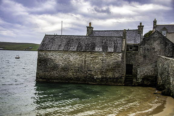
Lerwick, Scotland in the Shetland Islands
Our first port of call on the first cruise (and our penultimate on the second) was Lerwick in the Shetland Islands.
This is the northernmost piece of the United Kingdom, actually closer to Norway than it is to London. That made it very attractive to the Vikings who were amongst the first tourists to visit. And it also made it an important side story of the Second World War: it was mostly from Shetland that dozens of small boats made hundreds of stealthy crossings of the North Sea to bring in saboteurs and spies, and rescue Norwegians at peril from Nazi occupiers.
Aberdeen, Scotland
The Granite City is less-visited than Edinburgh and Glasgow, but it has both a handsome downtown and a surprisingly green and tranquil countryside in surrounding Aberdeenshire.

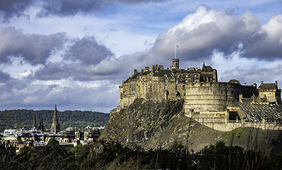
Edinburgh, Scotland: Auld Reekie

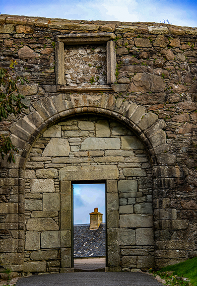
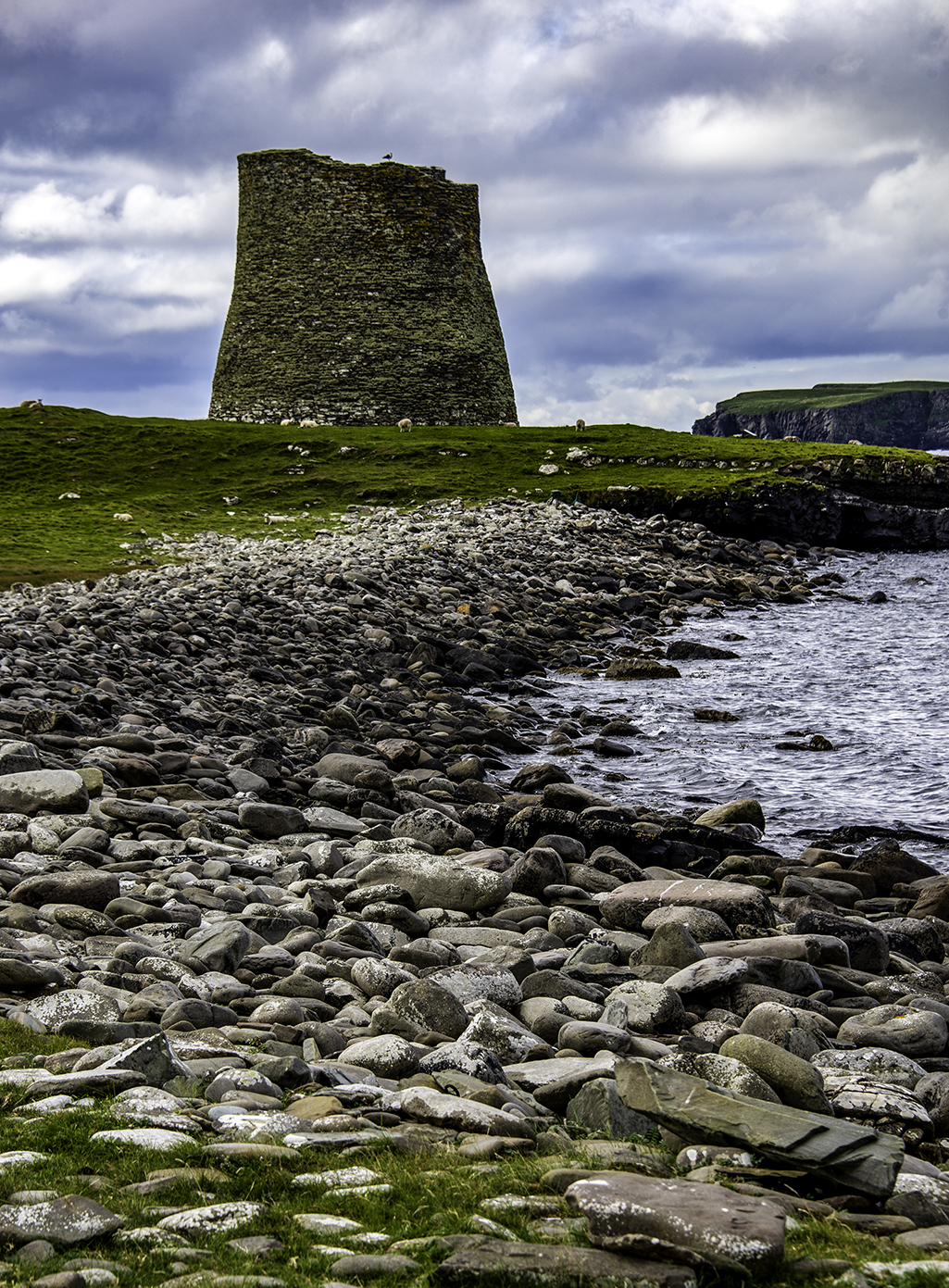
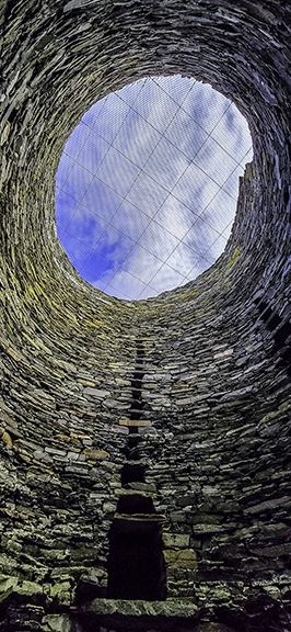
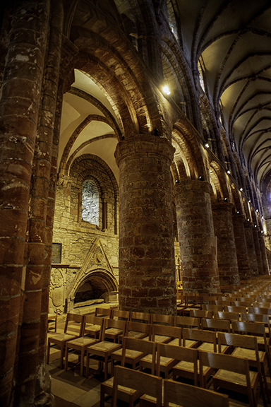
Kirkwall, Scotland in the Orkney Islands
The Orkney Islands stand just off the northern coast of Scotland. The principal town of Kirkwall includes some impressive ancient structures including the spectacular Saint Magnus Cathedral.
Coming Attractions: Belfast, Liverpool, Portland, Weymouth, Portsmouth, and Greenwich
I hope you’ll return here next month for more pictures and stories from the tour of the British Isles.
King George III will be back.
All text and photos are by Corey Sandler, all rights reserved. Copyright 2025. If you want to obtain a copy of one of my photographs for personal or commercial use, please contact me using the link on this page. Or, click here to contact me.
If you’d like to order a copy of my book, “Henry Hudson Dreams and Obsession” you can obtain a Kindle or PDF version by clicking here: HENRY HUDSON DREAMS AND OBSESSION
Or if you would prefer to purchase a printed book in hardcover or paperback (personally autographed if you’d like) please send me an email for details. Click here to contact me.